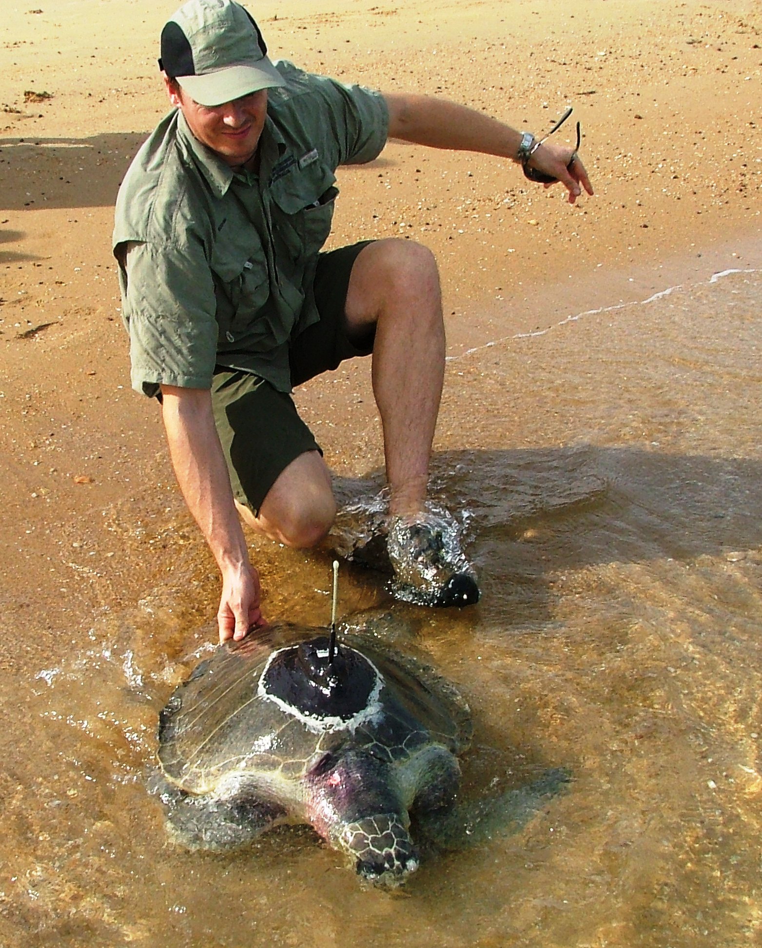
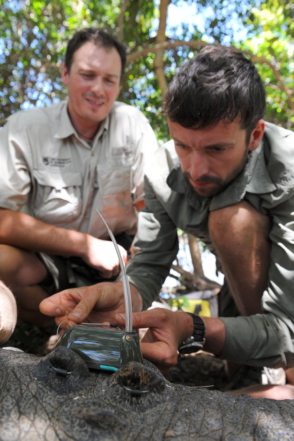
From big Crocodiles in Cape York to Little Penguins in and around St Kilda, the biodiversity projects that incorporate tracking devices are providing highly valuable data on the whereabouts of wildlife on-the-move.
At the beginning of 2015, the Atlas of Living Australia (ALA) took over the management of the free-to-use OzTrack application that facilitates the uploading, editing, analysis, archiving and sharing of datasets from animal tracking research projects. As part of the transition to the ALA, OzTrack has been re-released as ZoaTrack to reflect the growing international community of animal tracking scientists using the web-based application. OzTrack was initially developed at The University of Queensland as part of a NeCTAR-funded collaboration between The University of Queensland’s Schools of Biological Sciences, the Environmental Decisions Group, and the School of ITEE eResearch Lab. When the initial project ended, the ALA stepped in to ensure the continued development and maintenance of the system with the long term goal of integrating the toolset into the ALA’s suite, and ensuring the legacy of existing animal location datasets.
Animal telemetry studies generate a wealth of complex data issues with formats, map projections, timestamps, algorithms and calculations. ZoaTrack’s goals are to make spatial analytics tools easily accessible, so that researchers can spend less time wrangling the technology, and more time on science. ZoaTrack has a broad base of research organisations involved in both the user community and on the steering committee. The site manages both terrestrial and marine data and has an impressive collection of datasets across many locations and species. Users have the choice to openly share their datasets, or keep their data under embargo for a determined period. The software is all open source so is free to use. Once raw data is uploaded, users can easily run commonly used home range estimation algorithms and generate heat maps. They can add environment layers, do velocity and trajectory calculations, as well as apply cleansing filters and tools. Data and results can be exported in multiple formats.
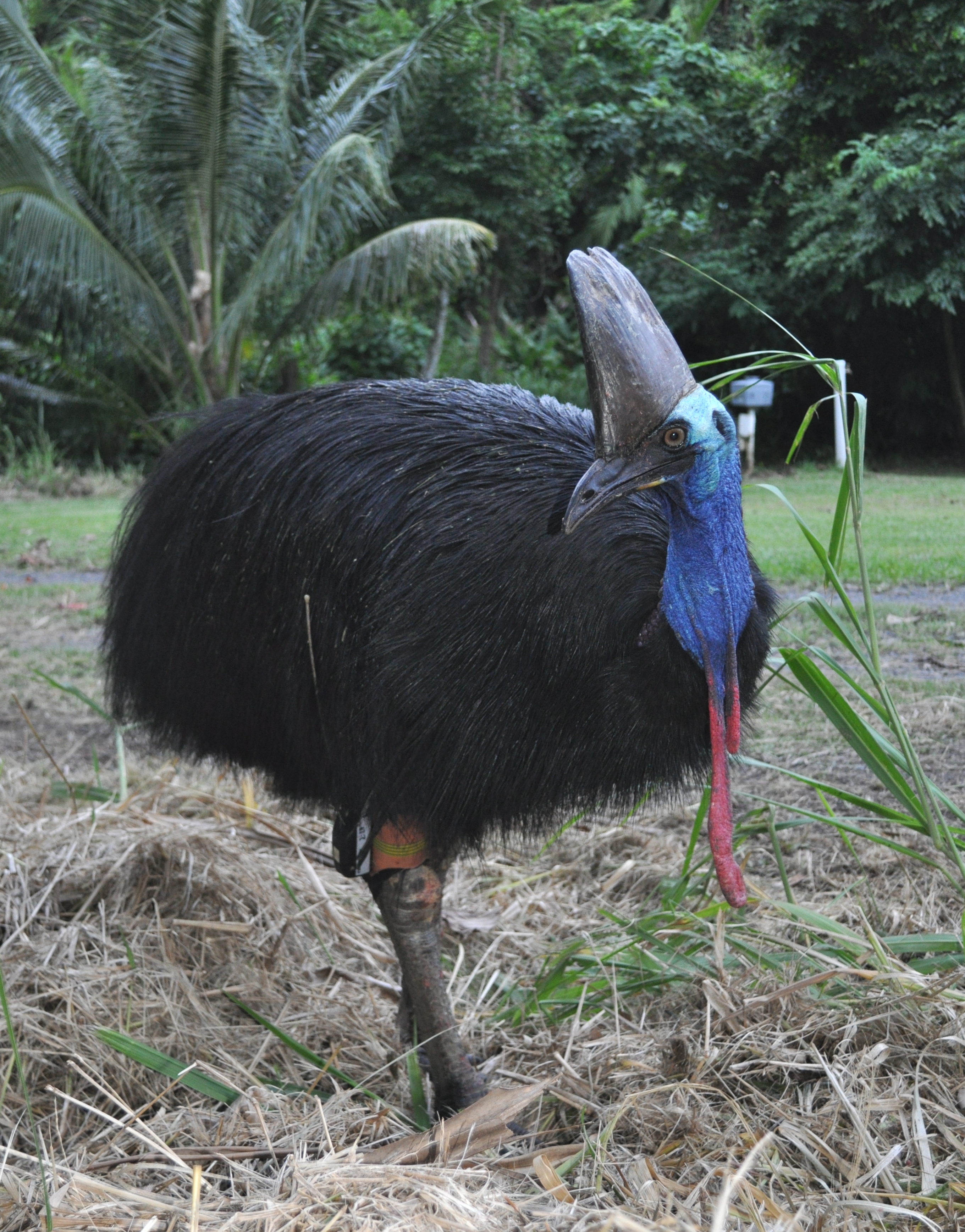
Studies using ZoaTrack can be easily investigated from the site and showcase some intriguing case studies, including tracks made by Koalas, Cassowaries, and Crocodiles.
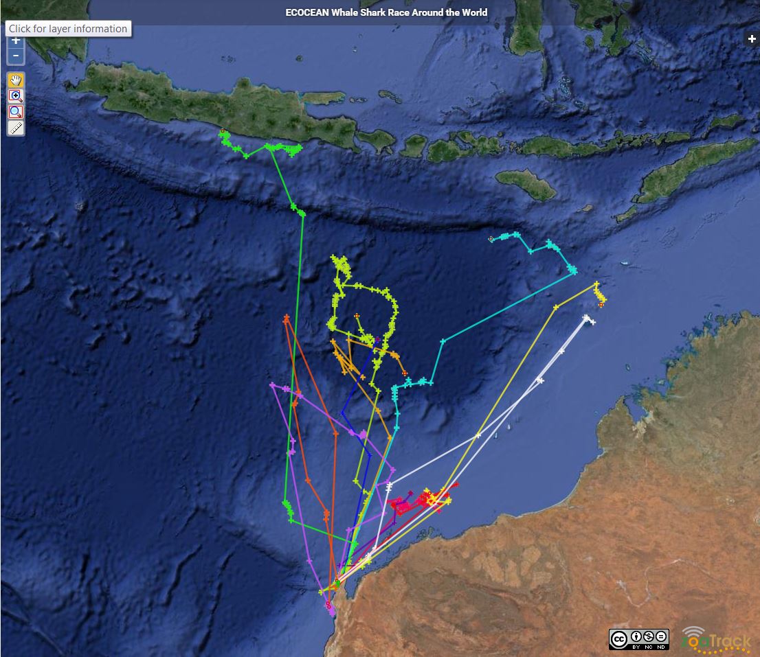
During August this year ECOCEAN and the WA Department of Education used the ZoaTrack platform as an outreach and education tool to hold a Whale Shark Race. 12 tagged whale sharks were assigned to West Australian primary schools and monitored by the students to see how far they travelled within a couple of weeks. Students were able to use ZoaTrack to learn more about marine ecology research and conservation. View an updated mapping of the 12 whale sharks here.
For more information about ZoaTrack, please visit the website www.zoatrack.org or to learn more about how biotelemetry is useful in ecological studies, check out this blog from the key ZoaTrack developers.
The integration into the Atlas of Living Australia will ensure the continued development and servicing of the ZoaTrack system, enabling this facility to evolve in parallel with the telemetry devices and helping ensure the long-term legacy of existing animal location datasets.