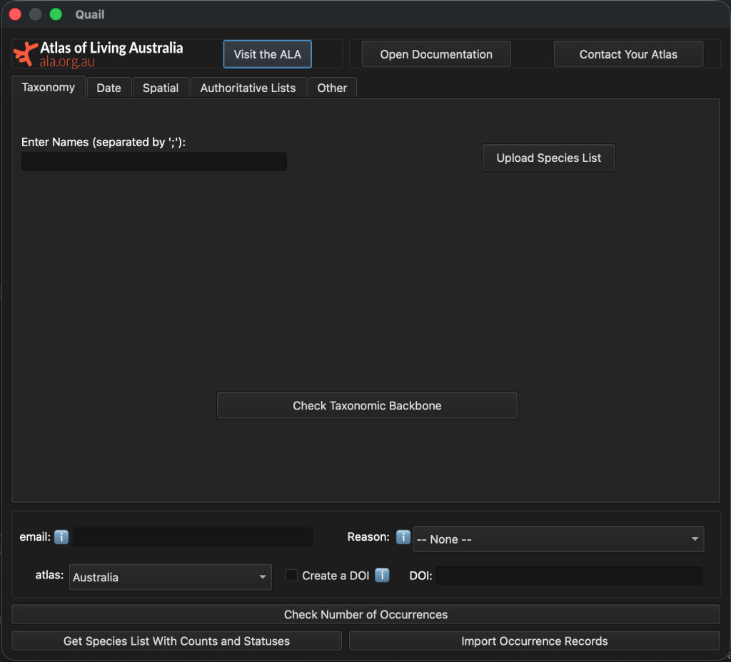
We’ve released Quail, a new plugin for the QGIS geospatial program.
Quail enables users to locate and download species occurrence records (observations, specimens, eDNA records, etc.), and to narrow their queries to particular taxa, locations or times.
Users can also filter their queries based on threatened and sensitive species lists or to meet particular data-quality criteria. These data are then read into QGIS as a vector layer.
Quail was built and is maintained by Amanda Buyan, a member of our Science & Decision Support Team. We found out more from Amanda about this new tool.
What is QGIS and how is it used?
QGIS is a free and popular software program for creating, editing and visualising geospatial information. Ecologists will often use maps of known or historical species observations as valuable context for scientific research, conservation management, environmental impact assessments and decision making.
Many ecologists need a tool to visualise species onto a map outside of a programming interface, and QGIS is the natural choice for a mapping software. QGIS also has an advantage in the form of ‘plugins’ – bespoke programs designed to analyse or import data directly into QGIS.
There are several existing QGIS Plugins for downloading biodiversity data. Although each plugin has their strengths, they remain limited in their filtering functionality and data scope.
Quail aims to address these limitations by offering a QGIS interface to download biodiversity data using a complete set of taxonomic, temporal and spatial filtering options, including the option to download data natively from GBIF, the Atlas of Living Australia and 7 other Living Atlases.
How can researchers use Quail?
Researchers can use Quail to download species occurrences for use in initial ecological assessments (i.e. to get an idea of where a species exists, or what kinds of species are in an area) before carrying out field research. They can also input this data into a species distribution model, which predicts the likelihood of seeing a particular species in an area.
Others will be using it to carry out initial ecological assessments of an area potentially slated for mining or land development, and this can provide an initial insight into what species have been seen in a particular area.
Watch the video: Intro to Quail
What inspired the name: Quail?
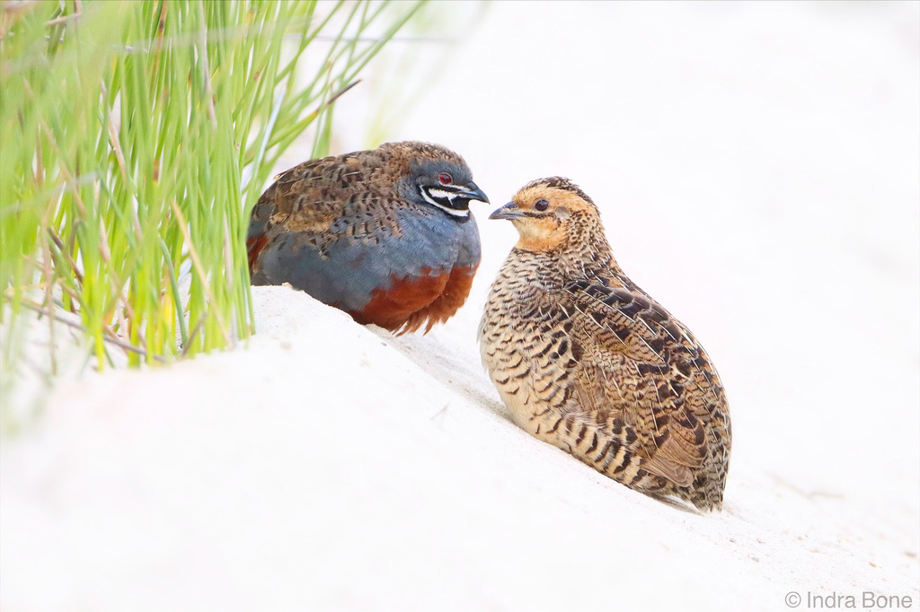
We chose Quail because we wanted to have a species that is represented in many countries; however, being part of the Atlas of Living Australia, we wanted to highlight a native Australian quail! The one we have chosen is the Eastern King Quail (Synoicus chinesis victoriae), as it is endangered in Victoria and South Australia, and a beautiful species.
How does Quail make data more usable/searchable?
Quail makes data more searchable/usable by offering greater flexibility in how users can query data, be it spatially, temporally or taxonomically. We have been building towards this for a while. Quail is built on galah, our R and Python packages for flexibly extracting data out of the ALA into a programming environment.
As there are users that want this flexibility but may not have the time to learn to code, we chose to create a QGIS plugin that gives users the ability to view occurrence data on a map and in context without having to go to many sources and/or manually upload data downloaded from the ALA website.
What will the impact be?
Quail will bring greater visibility and accessibility to data from the ALA, as well as several other atlases. More users can access biodiversity data directly in QGIS, streamlining and speeding up their ecological assessments and analysis.
What are you most proud of with this new release?
I’m most proud of the overall design of the plugin. I have attempted to add as much flexibility as I could within a relatively minimal, easy-to-use interface.
What’s been the best part about working on the project?
The best part about working on this project has been seeing the flexibility that I know galah offers come to life in the user interface of this new plugin in a geospatial focussed environment. It provides a new way to access ALA data in a widely used, external map-based interface.
How did the team work make the dream work?
I created and led the lion’s share of the project. However, the plugin wouldn’t be where it is today without the helpful suggestions and feedback at various stages from Dax Kellie, Shandiya Balusabramaniam, Juliet Seers, Tania Laity and Cameron Slatyer. Thanks to all of them for helping our Quail take flight!
What are you most looking forward to seeing around impact?
I’m most looking forward to seeing how it will assist users in industry, government and other decision-making roles to deliver real world impact.
Watch the video: Intro to Quail
Find out more at: https://quail.ala.org.au/