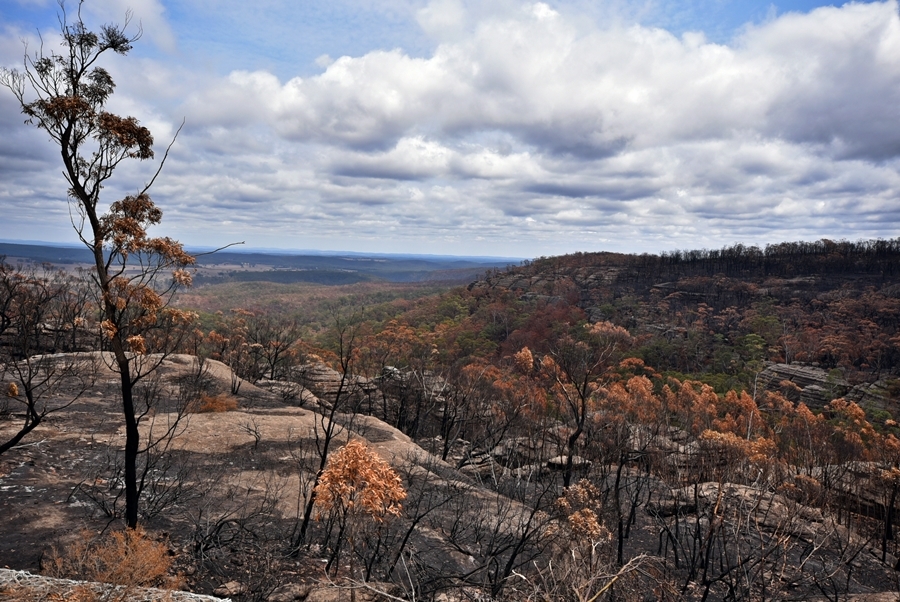
This dataset shows all areas of Australia affected by the 2019-2020 bushfires. You can use this data in the ALA to search for species that may have been affected by the 2019-20 bushfires, by mapping occurrence records that have been logged in those areas, both before and after the fires.
How to use the bushfire extent data in the ALA
For more information on how to use this data in the ALA, read our help article Using the National Indicative Aggregated Fire Extent Dataset 2019-20 in the ALA.
The National Indicative Aggregated Fire Extent Dataset
The National Indicative Aggregated Fire Extent Dataset was developed by the Australian Department of Agriculture, Water and the Environment (DAWE) to help quantify the potential impacts of the 2019/20 bushfires on wildlife, plants and ecological communities, and identify appropriate response and recovery actions.
The dataset is a reliable, agreed, fit-for-purpose and repeatable national dataset of burnt areas across Australia for the 2019/20 bushfire season.
The National Indicative Aggregated Fire Extent Dataset includes:
- data from the national Emergency Management Spatial Information Network Australia (EMSINA) data service, which is the official fire extent currently used by the Australian Government, and
- supplementary data from other sources to form a cumulative national view of fire extent from 1 July 2019 to the 21 April 2020, these sources include NSW Rural Fire Service, Northern Australian Fire Information (NAFI), QLD Fire and Emergency Service, QLD Department of Environment and Science, SA Country Fire Service, SA Department for Environment and Water, Tasmanian Fire Service, TAS Department of Primary Industry, Parks, Water and Environment, VIC Department of Environment, Land, Water & Planning, WA Department of Biodiversity, Conservation and Attractions.
The dataset is released on behalf of the Australian Government and endorsed by the National Burnt Area Dataset Working Group, convened by the National Bushfire Recovery Agency.
More information and links
- For more details about the dataset visit National Indicative Aggregated Fire Extent Dataset v20200428.
- For help accessing and using the dataset in the ALA, please email support@ala.org.au