GEO Week is an annual event and the accompanying Ministerial Summit is only held once every four years. It was the first time GEO Week was held in Oceania, and was one of the world’s largest gatherings of Earth observation practitioners and policy makers.
ALA at GEO Week 2019
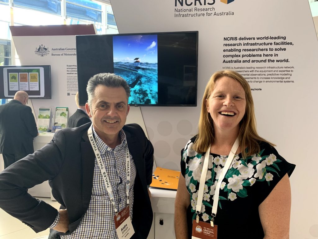
The Atlas of Living Australia co-hosted a side event with the Global Biodiversity information facility (GBIF) and the GEO Biodiversity Observation Network (BON) titled ‘Biodiversity data infrastructures for supporting global biodiversity monitoring and assessment programs’, and participated in the Australia booth and National Collaborative Research Infrastructure Strategy (NCRIS) stand.
The event heard from users working along the biodiversity data value chain, from data collection and aggregation to scientists working with the data, to policymakers using science to make informed policy decisions.
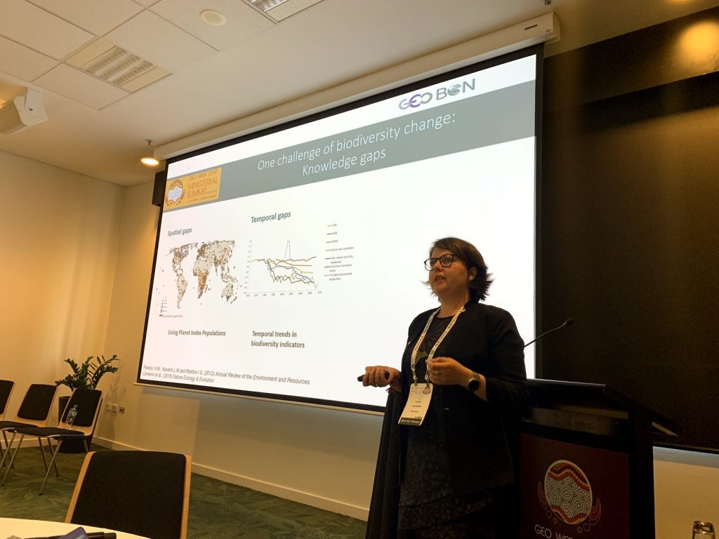
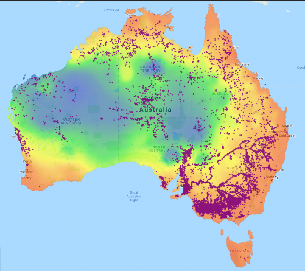
GEO BON (Laetitia Navarro) and GBIF (Donald Hobern) provided an overview of the state of biodiversity data observation networks and aggregators world-wide. CSIRO’s Simon Ferrier talked about their biodiversity data, and specifically data from the ALA, to predict how biodiversity will respond to environmental changes. The Department of Environment and Energy (Jeanette Corbitt) discussed the use of such science to support State of the Environment (SoE) reporting, which informs government policy.
All presenters agreed on the importance of obtaining high quality data, and on using existing data to identify data gaps and inform further data collection.
“GEO Week was an important event for the ALA and a great opportunity to deepen relationships with Australian government and international agencies that are potential users of ALA’s data and spatial analysis tools,” said ALA Director, Andre Zerger.
“It also provided an excellent forum to meet new people and build connections in the global Earth observation and biodiversity research communities.”
What are Earth observations?
Scientists and science agencies gather information about our Earth in many ways, including from floating ocean buoys, land stations, and satellites orbiting and observing Earth. Data collected this way enable environmental, resources and disaster management monitoring and assessment.
Through data sharing and infrastructure, the Group on Earth Observations (GEO) improves availability, access and use of Earth observations for research across many sectors including space, agriculture, water and biodiversity.
For more information, visit GEO Week 2019.