Spatial information in the ALA
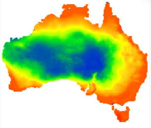
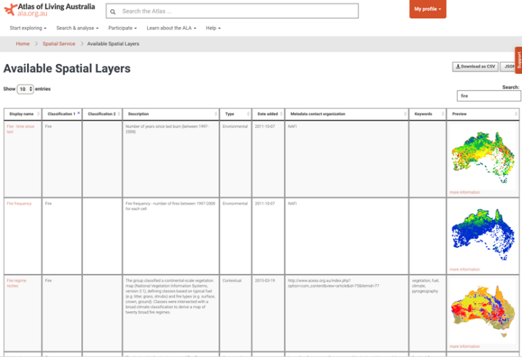
Spatial information is a big part of what we do at the ALA. To enable thorough spatial analysis for our users, we sample each and every occurrence record from our data providers against several hundred spatial layers. This means that when you’re searching for species in the ALA, you can search by a particular area (for example, by the state of Victoria, or by a national park – we call these contextual spatial layers) or by a particular environmental condition, like climate, or vegetative cover. All layers can be visualised through our Spatial Portal, and some of them through our regions tool (http://regions.ala.org.au/).
Time for an update
To ensure we continue to provide a national representative collection of environmental and contextual layers for analysis, we will be undertaking a review, update and consolidation of spatial layers that are provided within ALA services. This review will take into consideration:
How often layers are used
We’ve found that many layers are not used very often at all in the Spatial Portal. Our stats tell us there’s a long-tail distribution of usage whereby 80% of layers are used less than 5% of the layer of maximum usage, and 40% are used less than 1% of the layer of maximum usage.
Our system performance
Supporting and maintaining digital infrastructure to index and query hundreds of layers is particularly challenging and impose significant resource constraints.
Whether layers are still current and relevant
Some layers or suites of layers have been superseded, upgraded or are highly correlated with other layers.
Whether layers are available elsewhere
We needed to examine the ALA’s position in light of other related portals, such as the Biodiversity and Climate Change Virtual Laboratory (BCCVL). The BCCVL is better suited to provide the multitude of climate model projections, and IMOS’ Australian Ocean Data Network portal (AODN, IMOS) is better suited to provide oceanographic layers.
Our challenge is to provide a good representative sample of both environmental and contextual layers relevant to biodiversity data analysis, but we want to avoid being overly specialised.
What’s next?
Over the coming months we’ll be working on updating and rationalising our layer holdings. This review will be repeated annually.
More information
More comprehensive information and technical detail about this process is provided in our Knowledge Base article ALA Environmental and Contextual Spatial Layers, including our criteria for review.
As usual, if you have any questions or comments, please let us know at support@ala.org.au.